2022 — Present
PhD · Structural Geology & Geodynamics
University of Göttingen · Germany
- Research
- Spatio-Temporal Structural and Tectonic Evolution of the Kirthar Fold-and-Thrust Belt, Balochistan, Pakistan
Field interpretation · Western Pakistan
Structural geology · Tectonics · Geothermics
PhD 4D Geomodeling
Tracing the spatio-temporal evolution of fold-and-thrust belts along the western Indian Plate.
Structural geologyThermochronologyBasin ModelingNumerical Modeling
Complete portfolio
A detailed record of education, research, applied projects, field practice, international collaboration, and service to the geoscience community.
Education
Academic foundation
Each degree added a new scale of geological reasoning—from well logs and facies, through 3D reservoir models, to regional tectonics and the timing of deformation.
2022 — Present
University of Göttingen · Germany
2014 — 2017
National Centre of Excellence in Geology, University of Peshawar · Pakistan
2009 — 2014
Department of Geology, University of Peshawar · Pakistan
Professional career
A career spanning government geoscience, petroleum exploration, university research, laboratories, mapping, and field leadership.
2020 — Present
Coordinates academic and international partnerships, bilateral and Joint Ministerial Commission matters, public-sector project preparation, institutional agreements, and the Museum of Earth Sciences portfolio.
2017 — 2020
Served as field officer, geophysical laboratory lead, technical-committee member, radiation-protection officer, and administrator for gravity, magnetic, and electrical surveys.
2016 — 2017
Worked on basin studies, cross-section construction and restoration, 3D modelling, well-site geology, log interpretation, and well-completion reporting.
View supporting record ↗2015 — 2016
Supported the sedimentology laboratory and Journal of Himalayan Earth Sciences while researching Carboniferous–Permian stratigraphy and 3D reservoir analogues.
View supporting record ↗2015
Gained applied experience across petroleum exploration workflows and subsurface geological interpretation.
2013 — 2014
Completed a three-month internship supporting the centre’s scientific and industrial work on Pakistan’s dimension-stone resources.
View supporting record ↗2013 — 2014
Contributed geological mapping and engineering-geology support to field-based development work.
Research
Western Indian Plate
My research combines field geology, structural restoration, thermochronology, basin analysis, and palaeogeographic reconstruction to connect surface deformation with subsurface and thermal history.
Reconstructing structural styles, shortening, and deformation timing across the Kirthar and Sulaiman ranges and the Quetta syntaxis.
Using apatite and zircon thermochronometers to resolve burial, cooling, exhumation, and foreland-basin thermal histories.
Building balanced cross-sections and 2D/3D models that integrate surface mapping, stratigraphic thickness, seismic data, and wells.
Connecting tectonic subsidence, source-rock maturity, reservoir architecture, and palaeogeography across the Indus basins.
Characterising facies, diagenesis, petrophysical properties, and sequence architecture from outcrop and subsurface data.
Interpreting gravity, magnetic, resistivity, induced-potential, and self-potential data for water and mineral exploration.
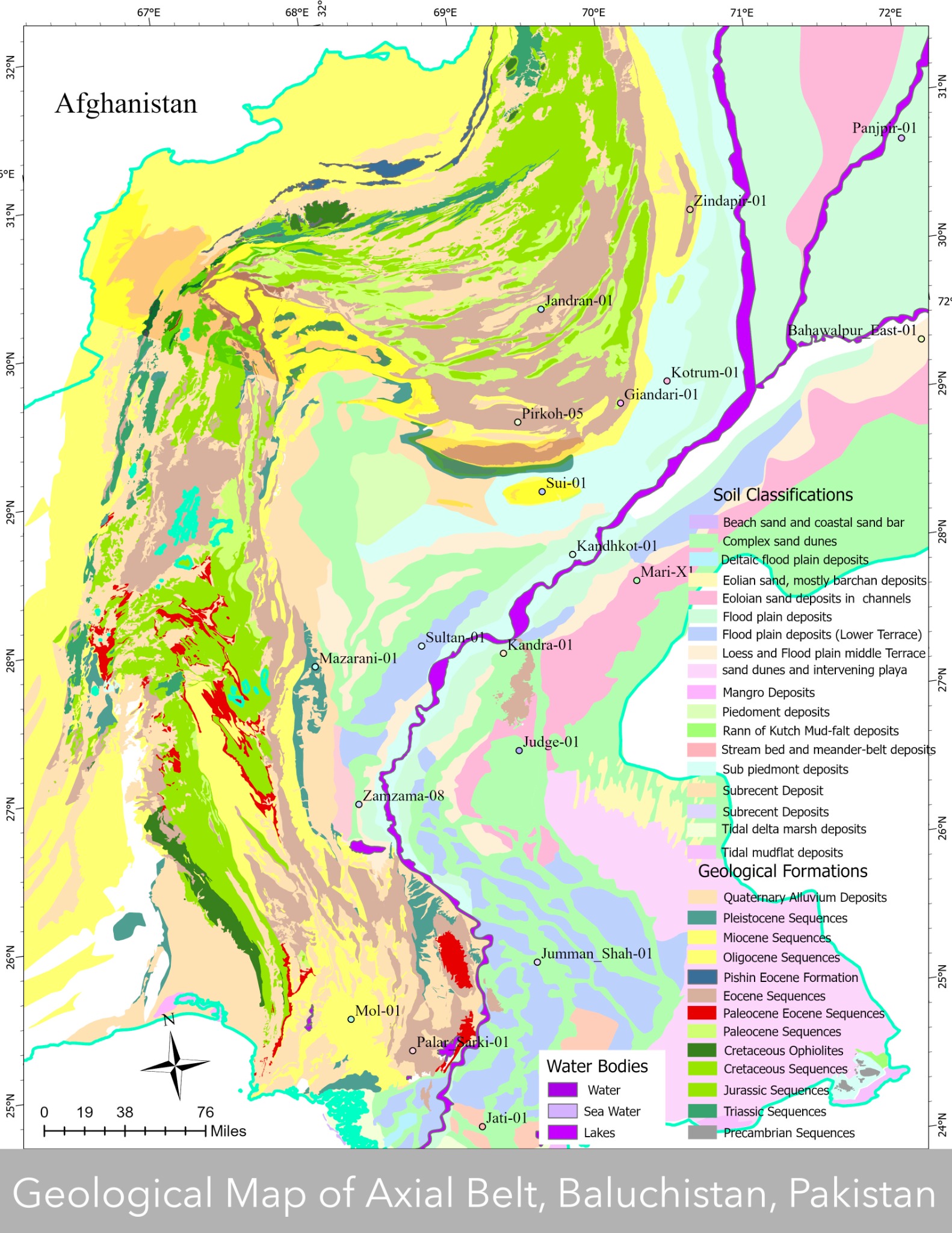
Current doctoral research
A multi-scale reconstruction of deformation, burial, and exhumation across the foreland basin and thrust belt—linking outcrop observations to subsurface structure and thermal history.
Projects & consultancy
Selected applied work
A portfolio across tectonic research, petroleum exploration, national geoscience programmes, mineral and coal assessment, groundwater geophysics, and reservoir modelling.
External Collaborator · University of Milano-Bicocca
Contributing external geological expertise to an ERC project reconstructing magmatic CO₂ emissions along the Neo-Tethyan convergent margin and testing their role in early Cenozoic climate change.
Official EU project recordResearch collaboration
Investigating the spatio-temporal structural evolution of the western Himalayan orogen through integrated field, structural, and chronological constraints.
Official DFG project recordResearch collaboration
Linking structural evolution with Quaternary landscape development and deformation to evaluate segmentation and implications for seismogenesis.
Official DFG project recordMari Petroleum Company Limited
Field-based geological evaluation combining sedimentology, geological mapping, and structural studies to strengthen the block-scale exploration framework.
Orient Petroleum Inc.
Integrated geological studies of an onshore exploration lease, focused on stratigraphic relationships, surface mapping, and structural interpretation.
GSP · G-SAG collaboration
Lithological and petroleum-system mapping within a national geoscience and space-applications initiative, integrating field evidence with geospatial datasets.
Geological Survey of Pakistan
Exploration and evaluation of gold and associated heavy minerals in Indus River sediments through geological reconnaissance, sampling, and target assessment.
Public and independent engagements
Geological and geophysical assessment of soapstone, barite, iron, copper, chromite, and associated mineral targets across structurally complex belts.
Public and independent engagements
Field and stratigraphic evaluation of coal-bearing successions, including resource screening, seam relationships, and preliminary exploration interpretation.
National Centre of Excellence in Geology
Three-dimensional modelling of facies and reservoir properties in the Amb Formation to resolve heterogeneity and the spatial distribution of reservoir quality.
Geological Survey of Pakistan
Electrical-resistivity surveys and subsurface lithological modelling for water exploration at Sheikhmanda and public and industrial sites around Quetta.
HEC–NRPU collaboration
GSP collaborator · From 1 August 2021
Mineral-deposit evaluation to assess the availability of rare metals for use in photovoltaic technologies.
Awarded to Dr Asghar Ali · Assistant Professor, University of PeshawarGSP collaborator · From 1 August 2021
Basin and petroleum-system modelling of Jurassic strata in Pakistan’s Lower Indus Basin.
Awarded to Dr SulaimanPublications
Selected bibliography
Peer-reviewed and accepted work spanning tectonics, stratigraphy, petroleum geoscience, reservoir characterisation, groundwater geophysics, palaeobiogeography, and geoheritage.
Professional memberships
Scientific community
Memberships support international scientific exchange, professional development, and collaboration across academic, public-sector, and applied geoscience communities.
2026 · Verified membership
2026 · Verified membership
2026 · Verified membership
2020 · Verified membership
International collaborations
Across borders and disciplines
Institutional links connect doctoral research, government geoscience, university expertise, museum outreach, international seminars, and advanced technical training.
Germany · Pakistan
Peshawar · Pakistan
Quetta · Pakistan
Islamabad · Pakistan
Sydney · Australia
Perugia · Italy
Milan · Italy
Potsdam · Germany
Rennes · France
China
Regina · Canada
Denver · United States
Pasadena · United States
Field experience
Outcrop to regional system
Extensive work across Pakistan’s fold belts, basins, and mineral provinces, complemented by international field transects through classic orogenic systems.
Kirthar · Sulaiman · Quetta syntaxis · Bolan · Harnai
Structural mapping, balanced sections, thermochronology sampling, stratigraphic logging, and petroleum-oriented field interpretation.
Salt Range · Potwar · Kohat · Surghar · Peshawar Basin
Facies analysis, reservoir characterisation, sequence stratigraphy, source-rock sampling, palynology, and 3D analogue studies.
Chitral · Shangla · Muslim Bagh · Khanozai · Chagai · Quetta
Reconnaissance mapping, mineral and coal evaluation, geophysical acquisition, groundwater surveys, drilling support, and core analysis.
Harz · Alps · Apennines · Appalachians · Rocky Mountains
Comparative field observation across sedimentary basins, collisional belts, thrust systems, and active tectonic landscapes.
Field & laboratory practice
Global outreach
Representation & service
Scientific leadership extends beyond research through international representation, student advocacy, public geoscience, webinar programming, editorial work, peer review, and professional training.
International representation
Represents Pakistan’s emerging geoscience community in international geological initiatives and strengthens exchange across national and global networks.
Academic representation
Contributes doctoral perspectives to academic dialogue and supports communication within the university’s research community.
International programming · 2022
Organiser and coordinator of a six-month programme hosted by GSP, NCEG, and the Denver Museum, later connected to the edited volume Indus Water System (2024).
International programming · 2021
Organiser and coordinator of a six-month virtual series on Siwalik stratigraphy, tectonics, palaeobioclimate, and the western Indian Plate boundary.
Publishing & professional service
Co-editor of two geoscience volumes, referee for seven journals, and judge for scientific conference contributions.
Professional training · 2019
Served as a resource person for a two-week Metallurgical Corporation of China course for geoscientists of the Government of Balochistan’s Mineral Development Department.
Technical competition · 2020
Member of the first-place team in the technical case at Gubkin University’s International Youth Scientific and Practical Congress, organised with the SPE Student Chapter.
Governmental representation
Representing and coordinating Geological Survey of Pakistan engagements across government, partner countries, institutions, and academia.
Edited volumes
Collaborative volumes connecting tectonics, stratigraphy, palaeobioclimate, water systems, and public geoscience across the western Indian Plate.
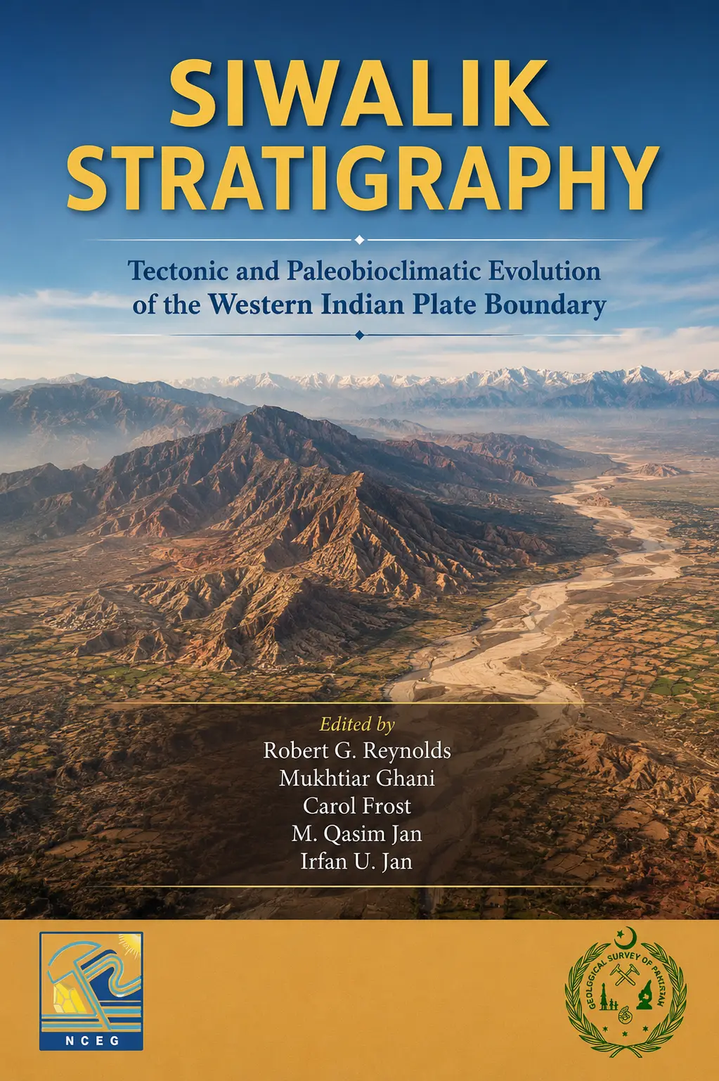
In publication · Geological Survey of Pakistan
Tectonic and Paleobioclimatic Evolution of the Western Indian Plate Boundary
Co-editor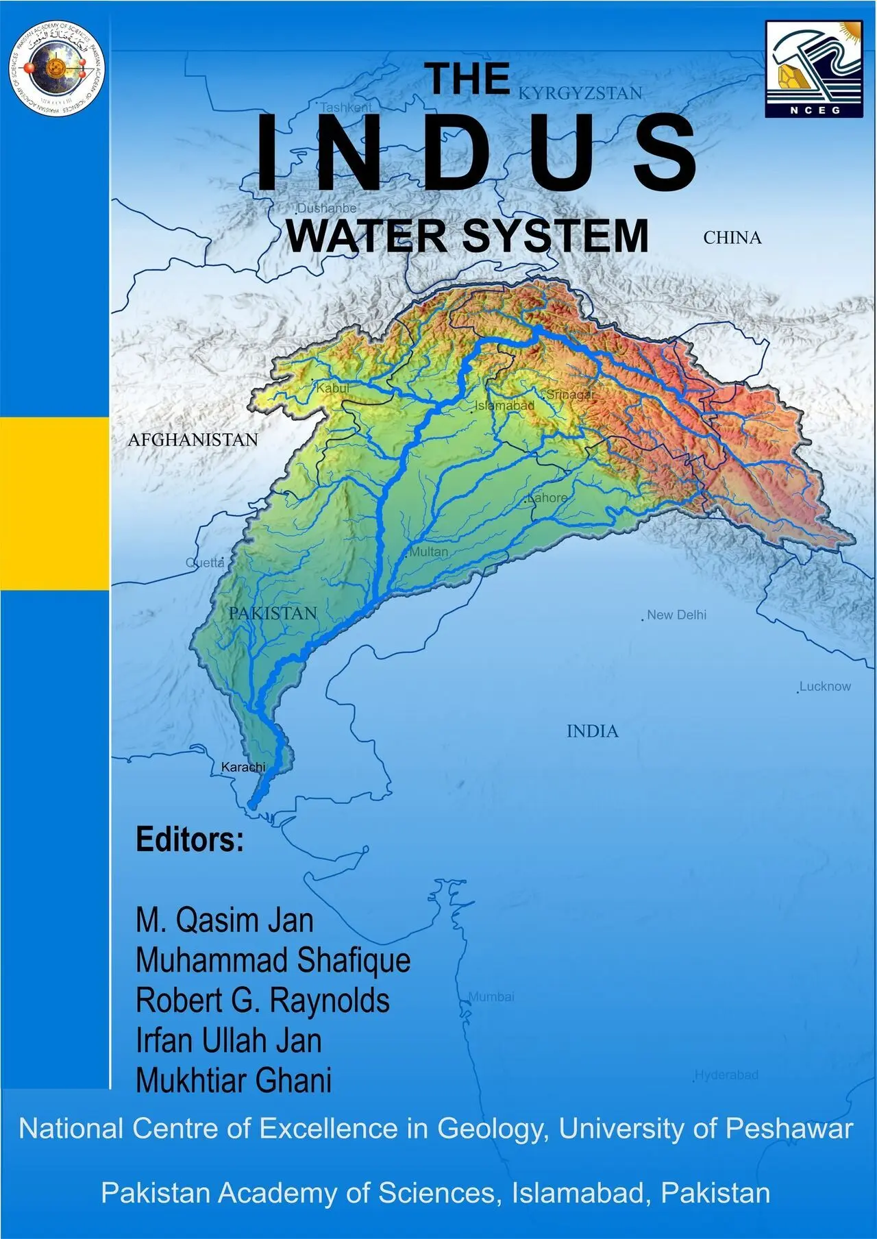
Published · 2024
National Centre of Excellence in Geology × Pakistan Academy of Sciences
Co-editorTraining & certifications
Continuous development
Focused training in structural modelling, active tectonics, remote sensing, InSAR, geospatial analysis, basin methods, laboratory practice, energy systems, research, and project delivery—supported by documented certificates and participation records.
Construction and Balancing Cross Sections · University of Camerino
Sedimentary Provenance School & WGSG Conference · University College London ↗
San Andreas Fault Field Programme · Geological Society of America ↗
2D/3D Structural Geological Modelling with Move · University of Göttingen
Plate Kinematic Reconstructions and GPlates · Freie Universität Berlin ↗
Dynamics and Sedimentary Systems in Collisional Zones · University of Pavia ↗
IEEE-GRSS International School on SAR Polarimetry · University of Stirling ↗
InSAR Processing and Analysis (ISCE+) · EarthScope Consortium ↗
Imagery in Action · Esri Academy
Morphometric Analysis for Geohydrology and Active Tectonics · GeoVigyan
GIS, Mapping and Spatial Analysis Specialisation · University of Toronto
Research Summer School on Palaeogeography · University of Rennes ↗
Core Analysis Workshop · MARUM Center, Bremen
International Irpinia Summer School: Near-Fault Observatory Technologies · INGV/MEET ↗
Shallow Bedrock Energy Utilisation · Geological Survey of Finland
Introduction to Analytical Geochemistry · Geological Survey of Pakistan
Oil & Gas Industry Operations and Markets · Duke University
37th Himalaya–Karakoram–Tibet Workshop · University of Turin ↗
Gordon Research Seminar and Conference on Geochronology · Maine, USA ↗
Data Analysis with MATLAB and Python · University of Potsdam ↗
Project Management Principles and Practices · University of California, Irvine
Research Planning, Funding, Writing, Publishing and Reviewing · Elsevier Researcher Academy
Disaster Risk Management: Investing in DRR for Resilience · UTM Kuala Lumpur ↗
Politics and Economics of International Energy · Sciences Po
Global Energy and Climate Policy · University of London
Cartography, Geospatial Analysis and Geo-App Development · Esri Academy
One-year Diploma in Computer Science
Field & research journal
Geoscience in practice
A visual record of field interpretation, laboratory work, technical training, international exchange, and the collaborative life of geoscience.
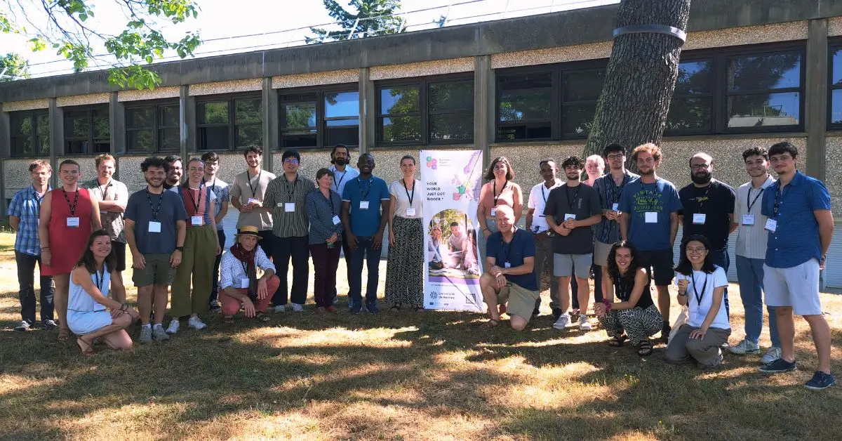
A multidisciplinary cohort brought together by training, discussion, and scientific exchange.
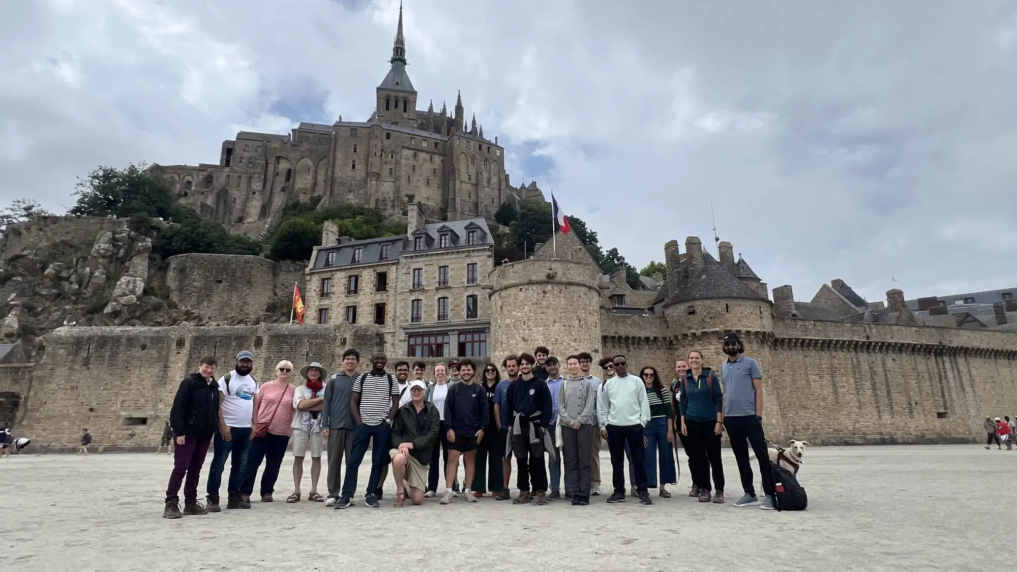
International field learning and community at Mont Saint-Michel.
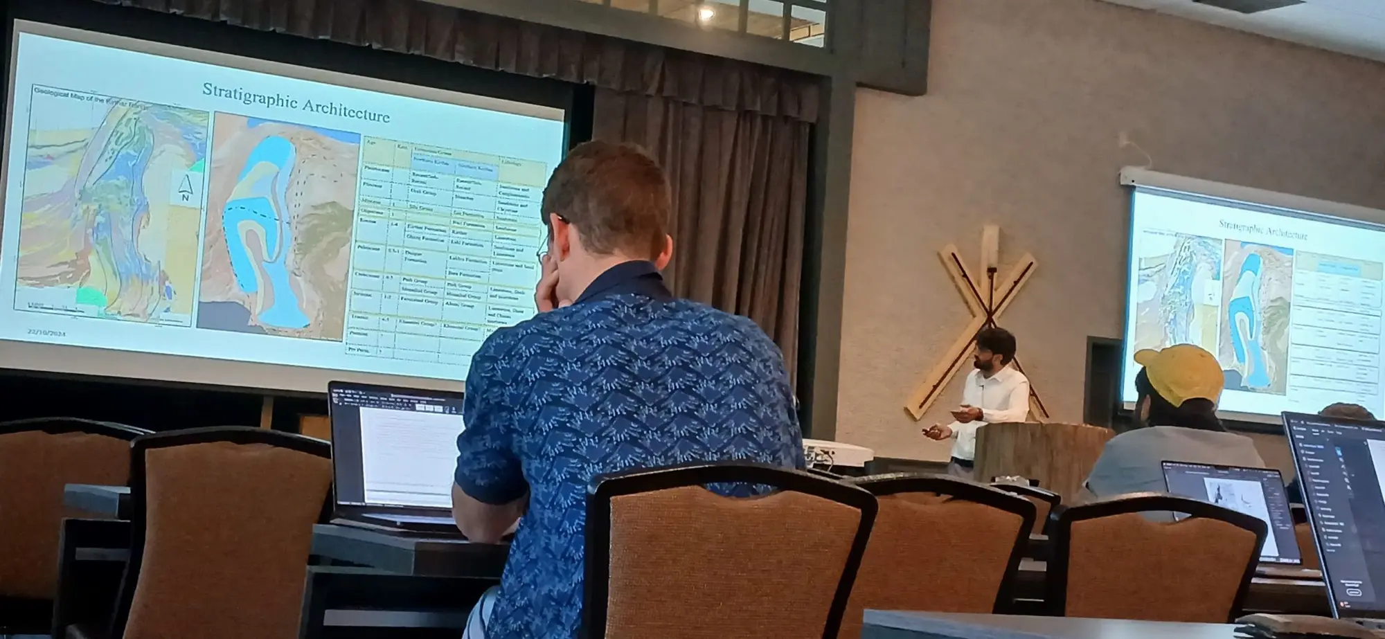
Presenting the stratigraphic architecture of the western Indian Plate to an international audience.
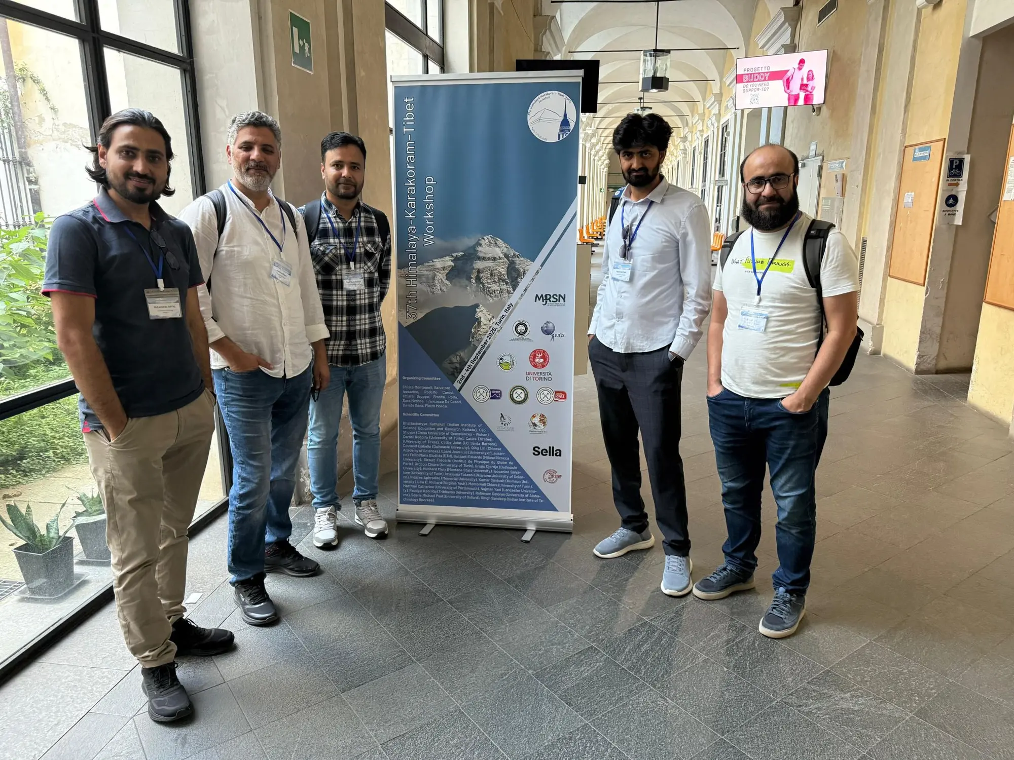
Pakistan delegation at the 37th Himalaya–Karakoram–Tibet Workshop.
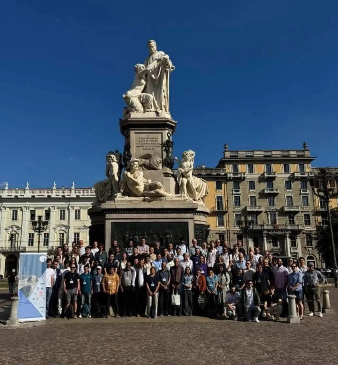
The international HKT workshop community gathered in Turin, Italy.
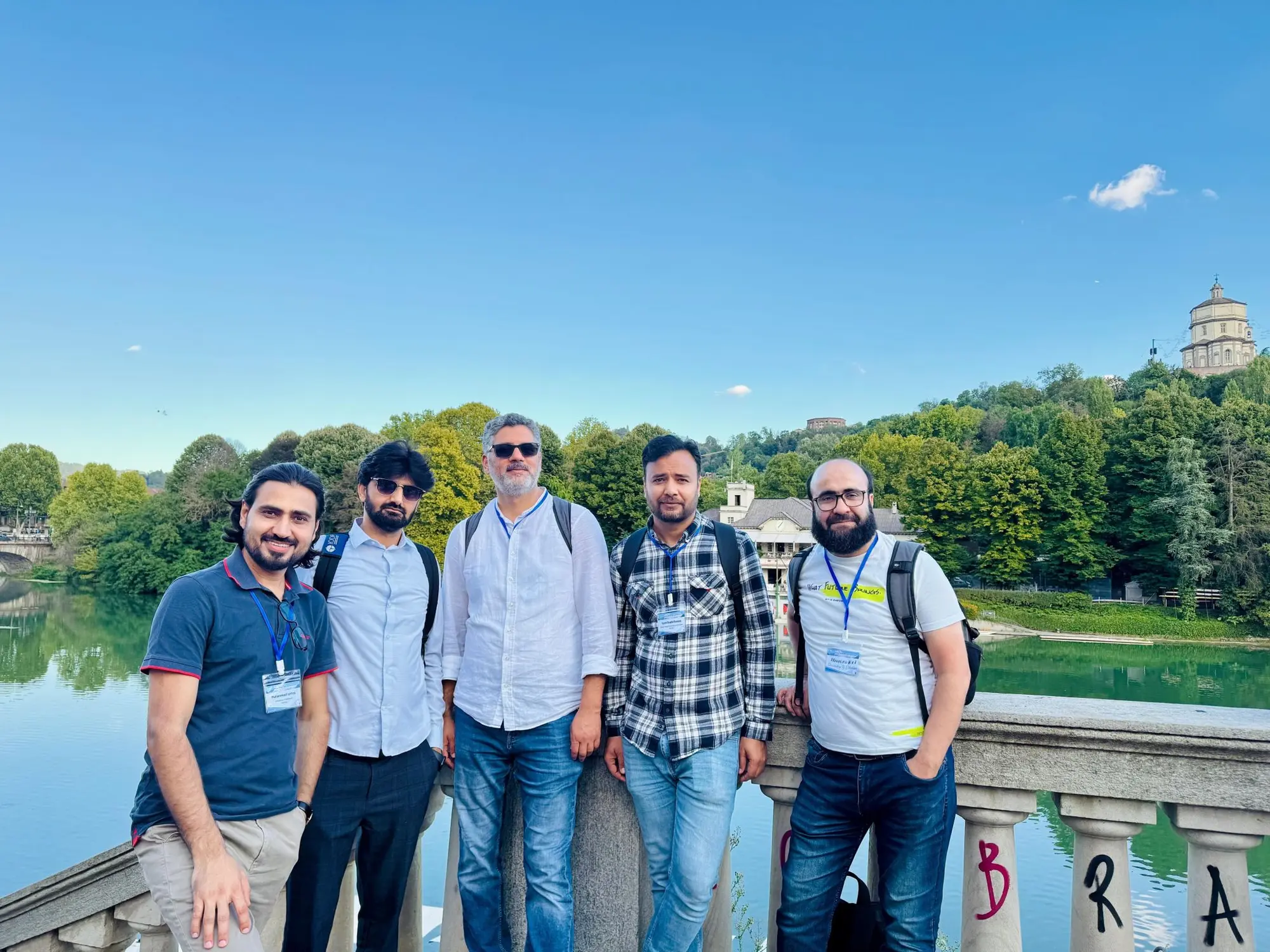
Extending workshop conversations through international scientific exchange in Turin.
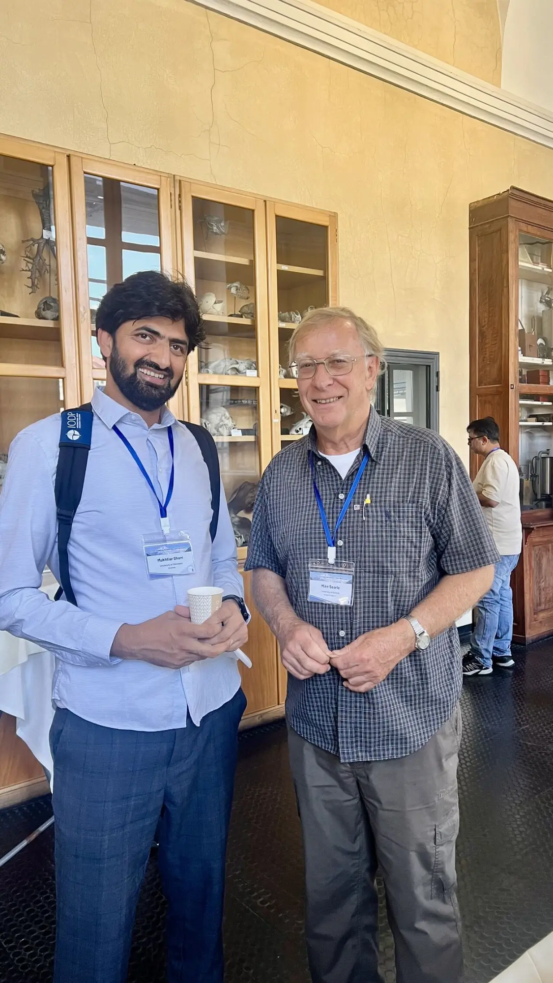
With Professor Mike Searle during the Himalaya–Karakoram–Tibet workshop.
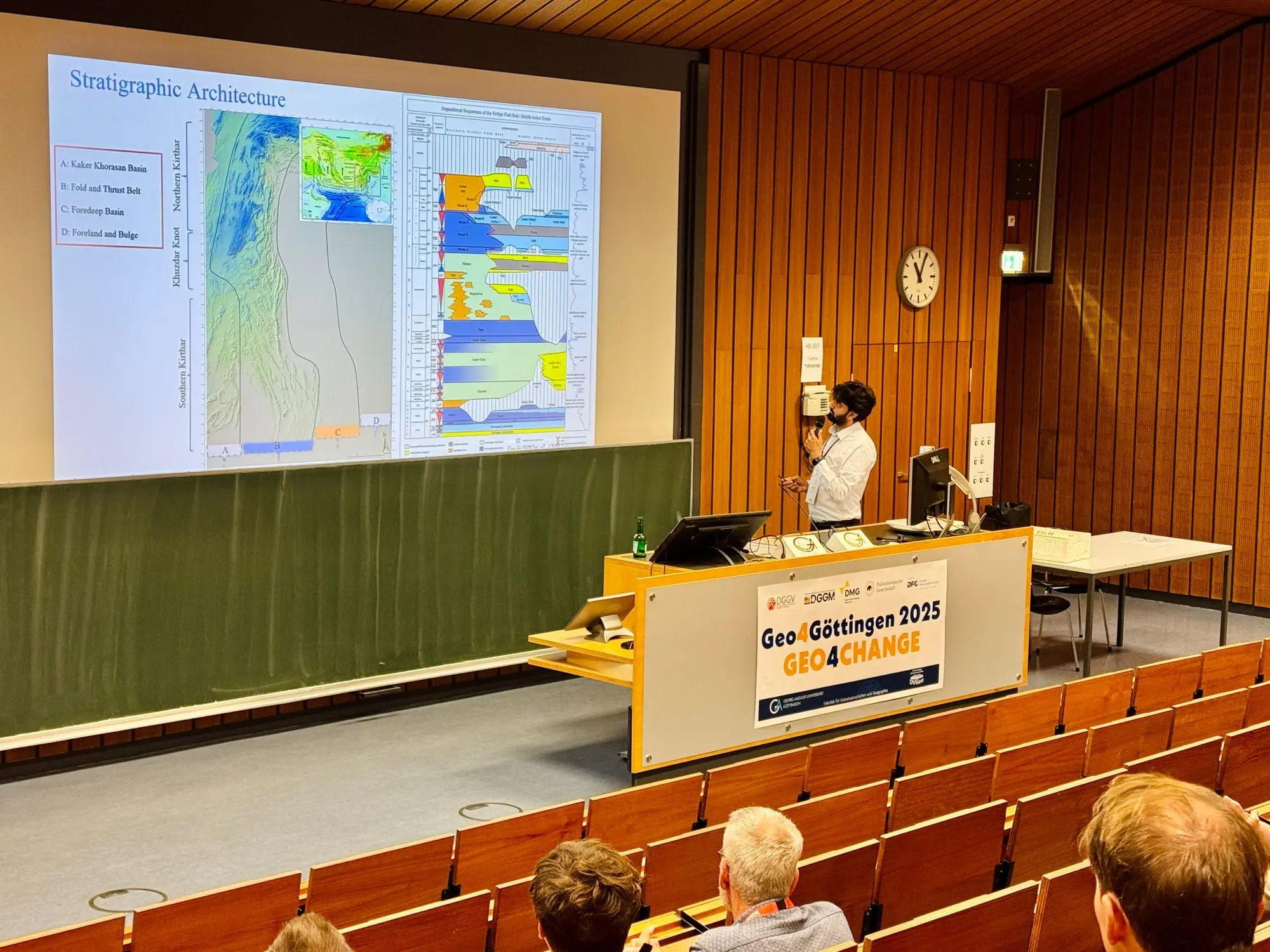
Presenting fold-belt stratigraphic architecture at Geo4Göttingen 2025.
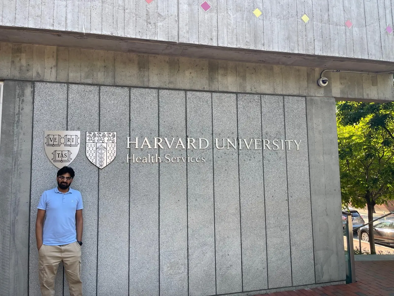
International academic engagement in Cambridge, Massachusetts.
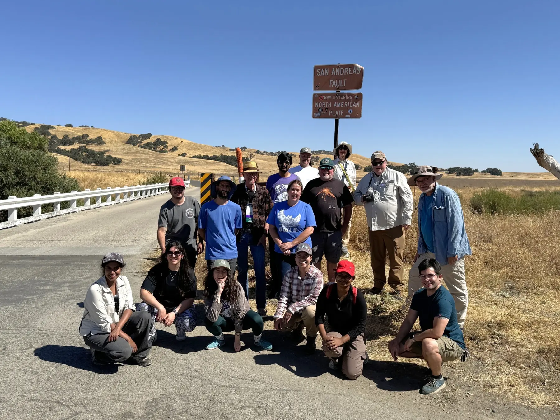
Field excursion at the San Andreas Fault—observing an active plate boundary in the landscape.
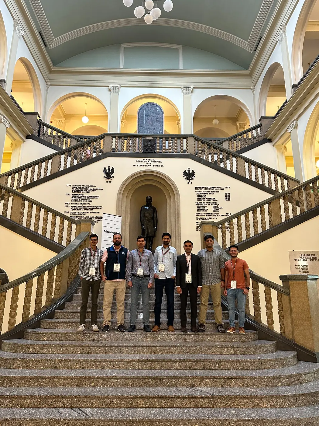
International geoscience exchange at AGH University of Kraków.
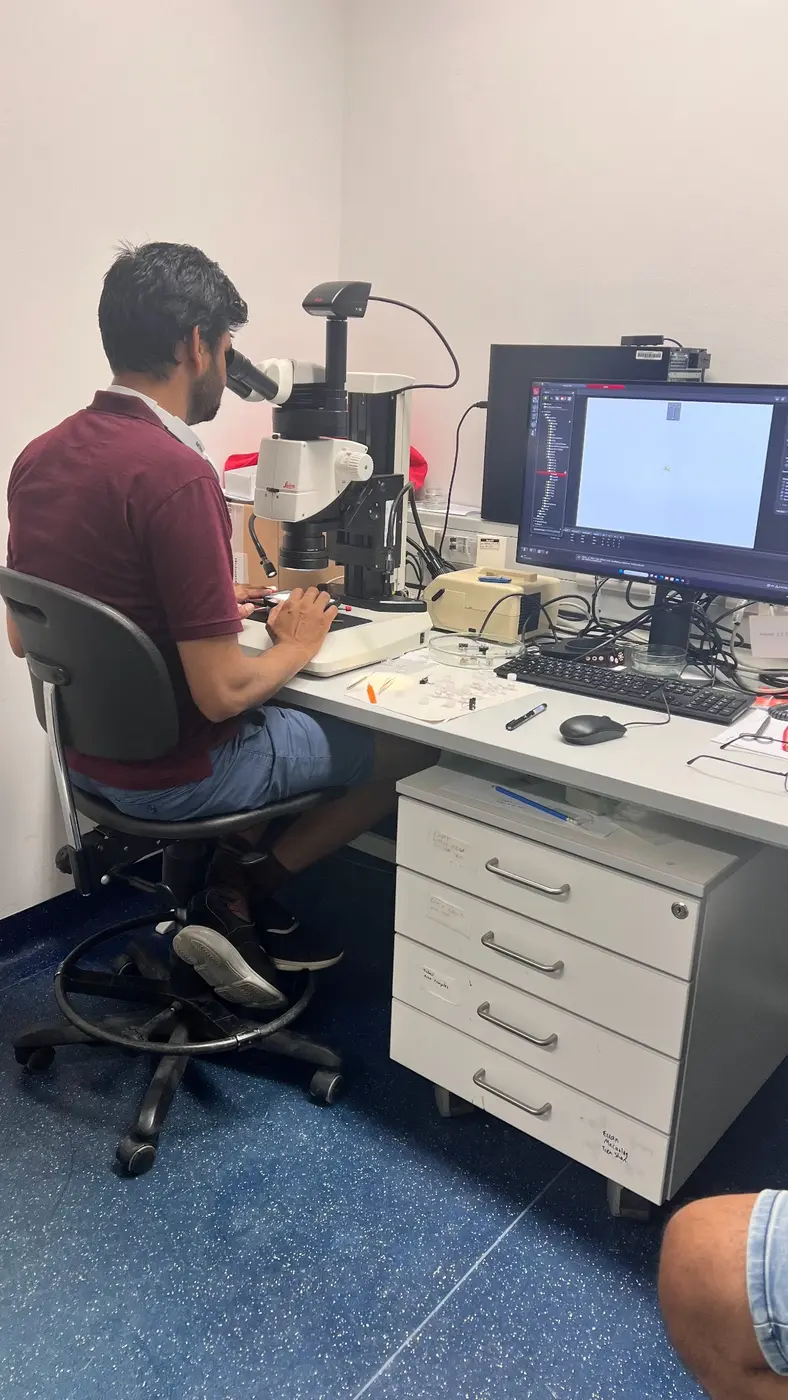
Microscopy and mineral-scale observation during laboratory analysis.
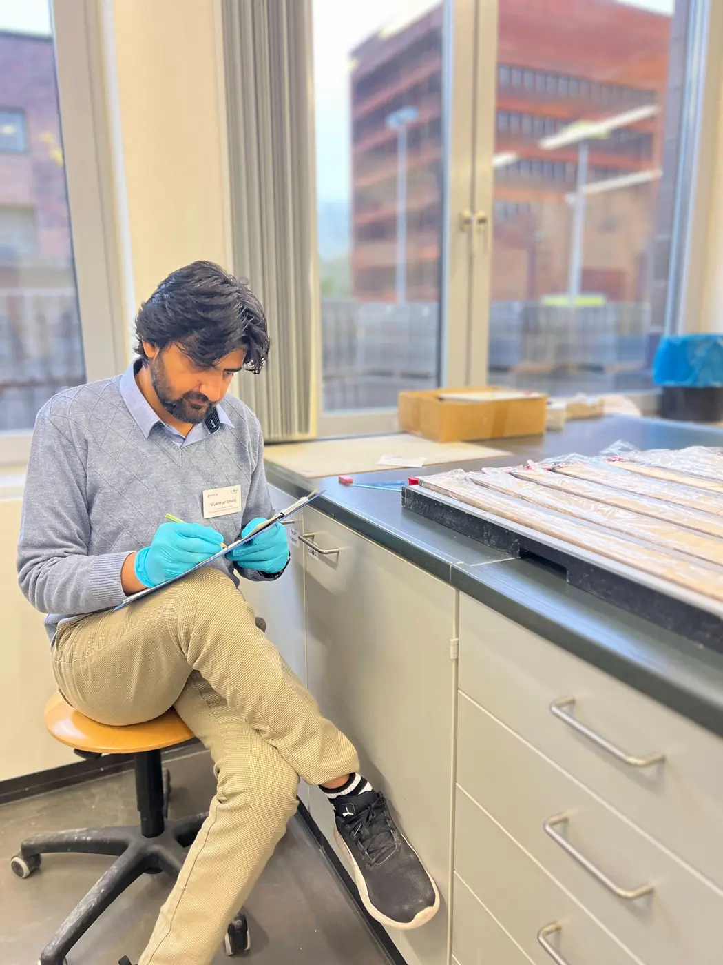
Describing, documenting, and interpreting sediment cores.
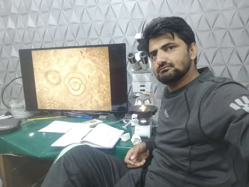
Microscopic examination and documentation of foraminiferal material.
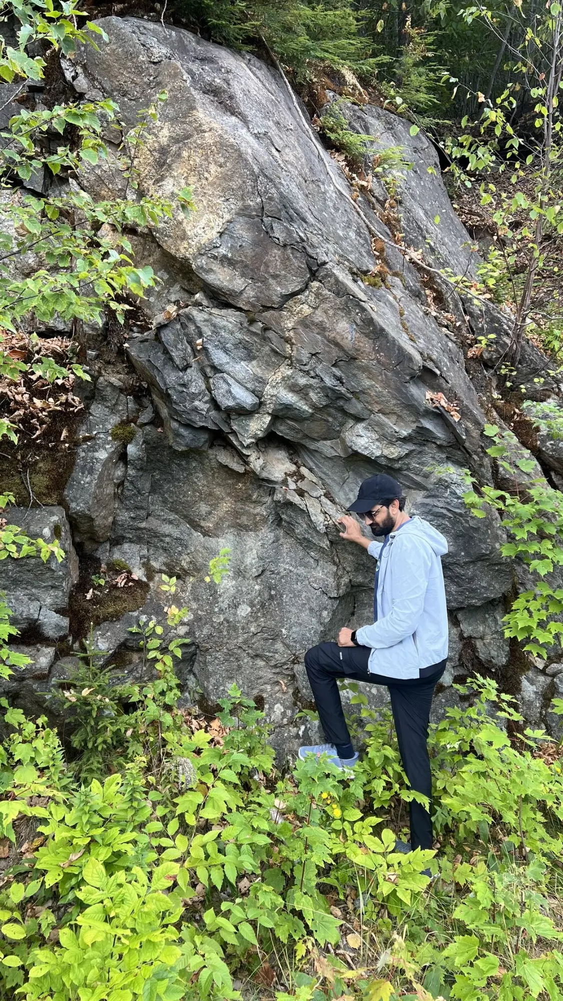
Reading lithology, structure, and deformation directly from a bedrock exposure.
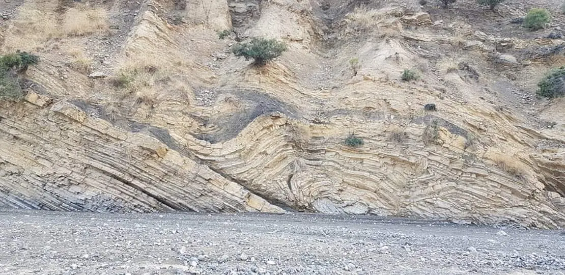
Tightly folded strata recording deformation within an active fold-and-thrust belt.
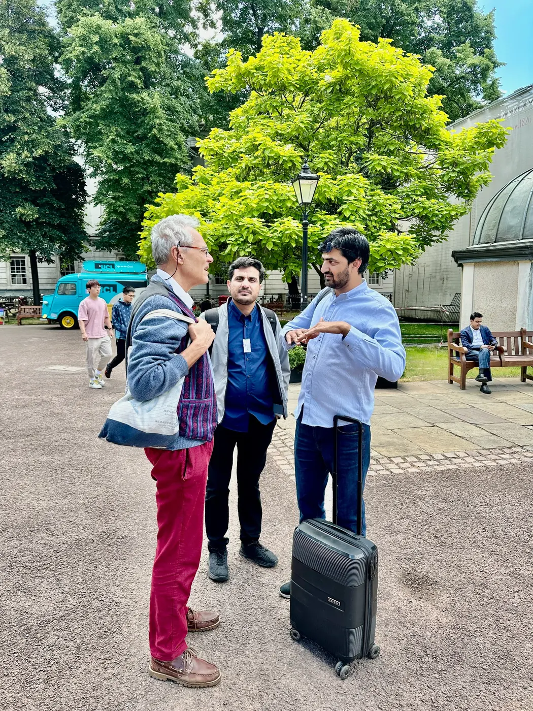
Conversations across disciplines during an international scientific meeting.
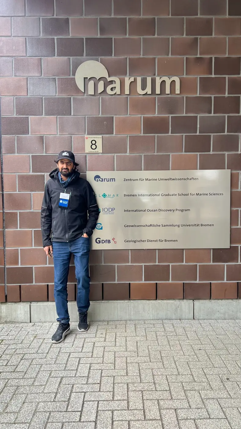
Core-analysis training at MARUM, University of Bremen.
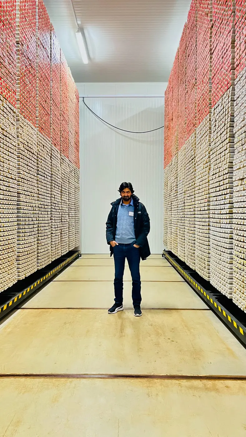
Inside the core repository—where stratigraphic records are preserved for research.
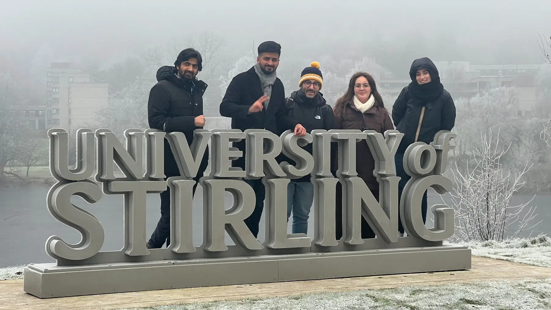
International technical training and research exchange at the University of Stirling.
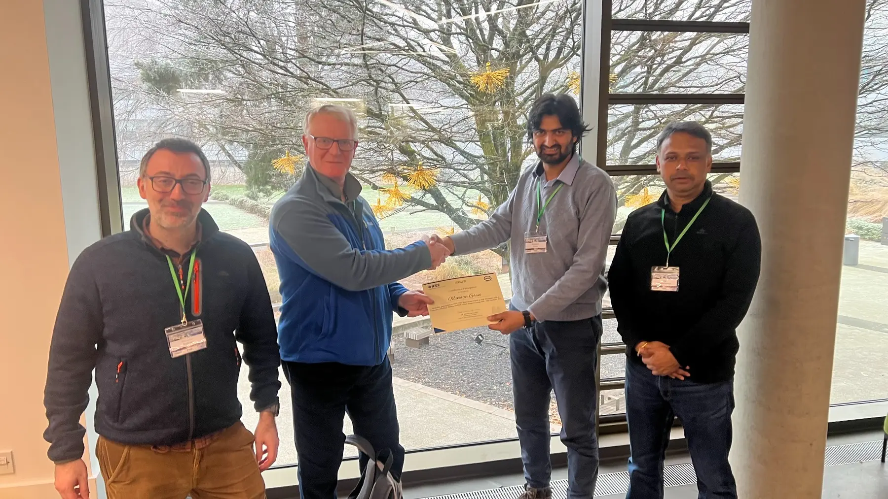
Certificate presentation following specialised technical training.
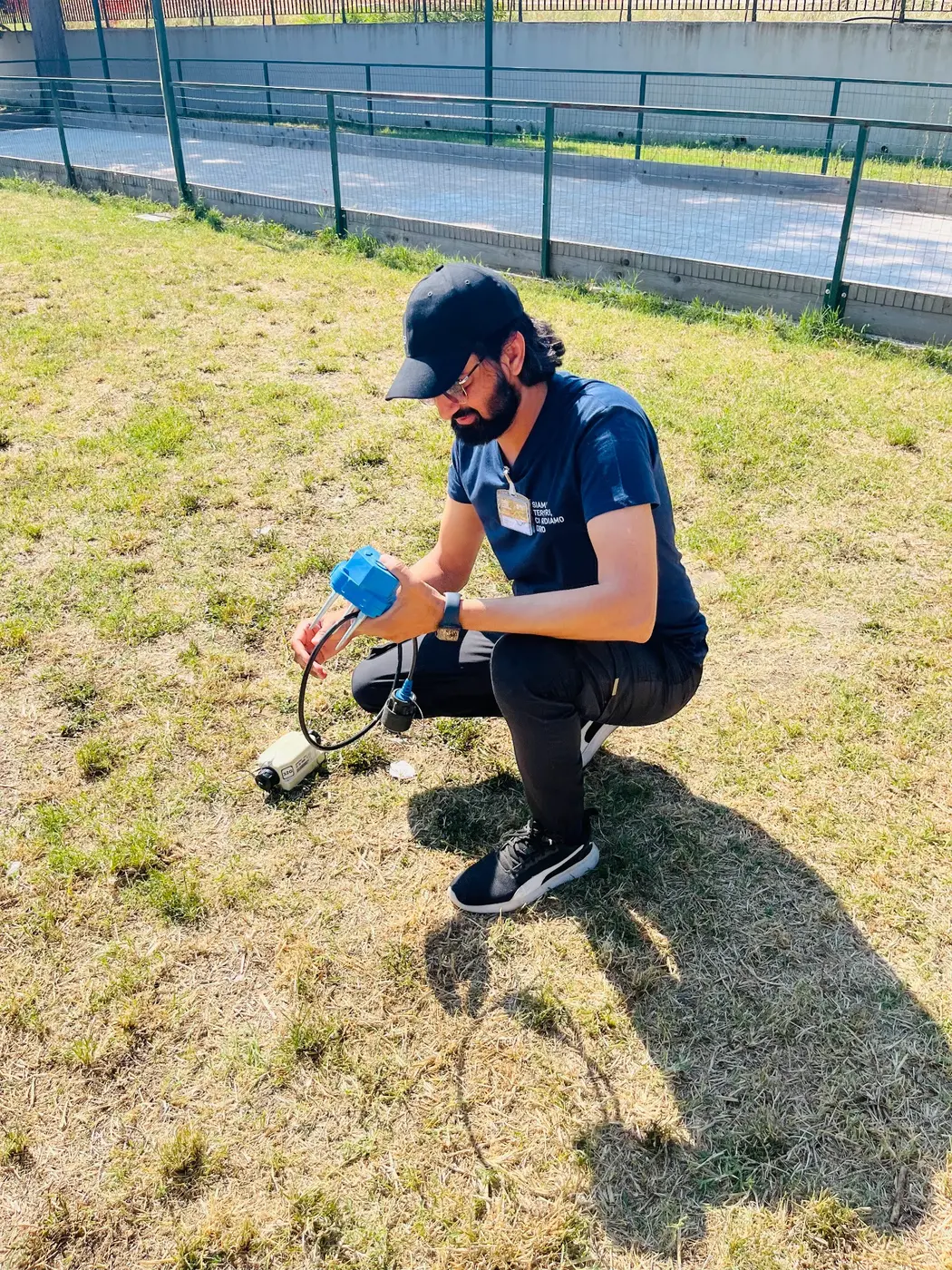
Hands-on field instrumentation for high-precision ground monitoring.
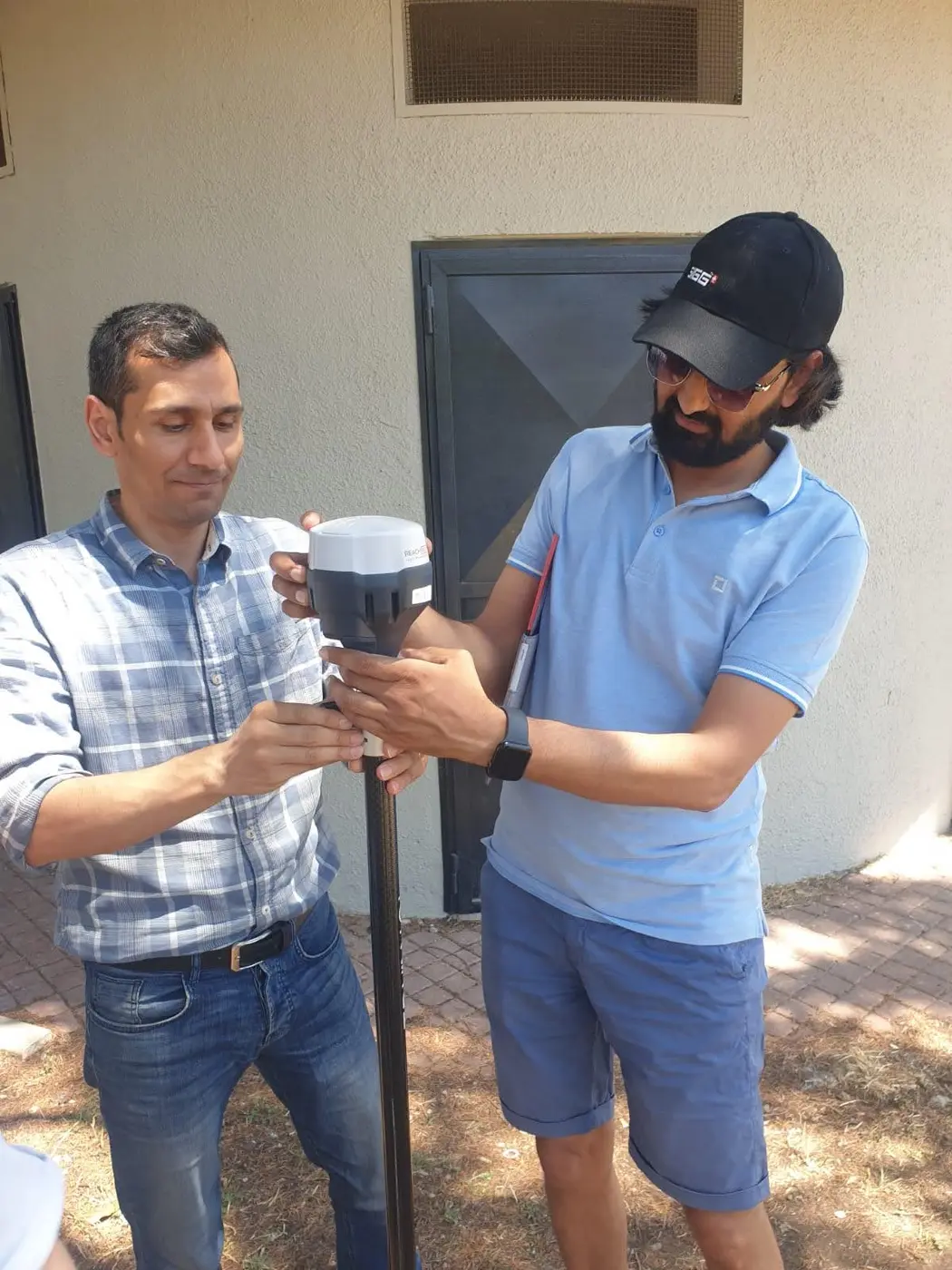
Preparing high-precision GNSS equipment for field acquisition.
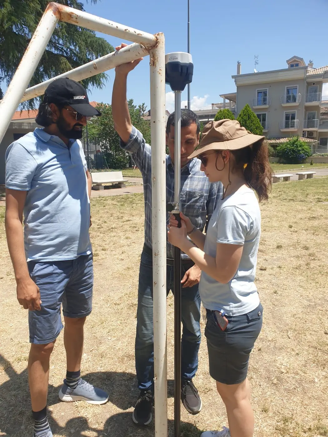
Collaborative instrument training—from setup to reliable observation.
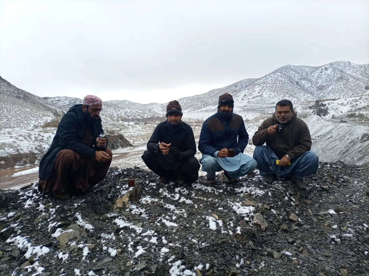
Winter fieldwork in demanding mountain terrain.
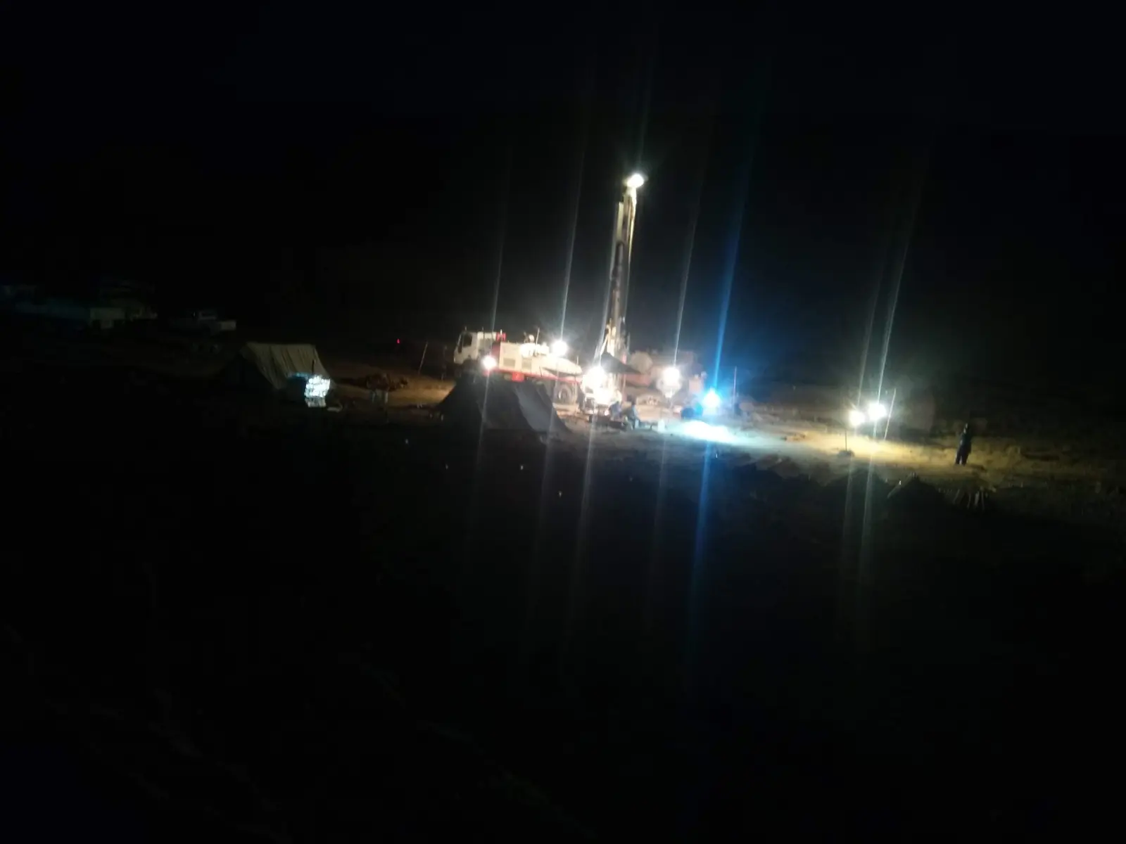
Night-time drilling operations and continuous field supervision.
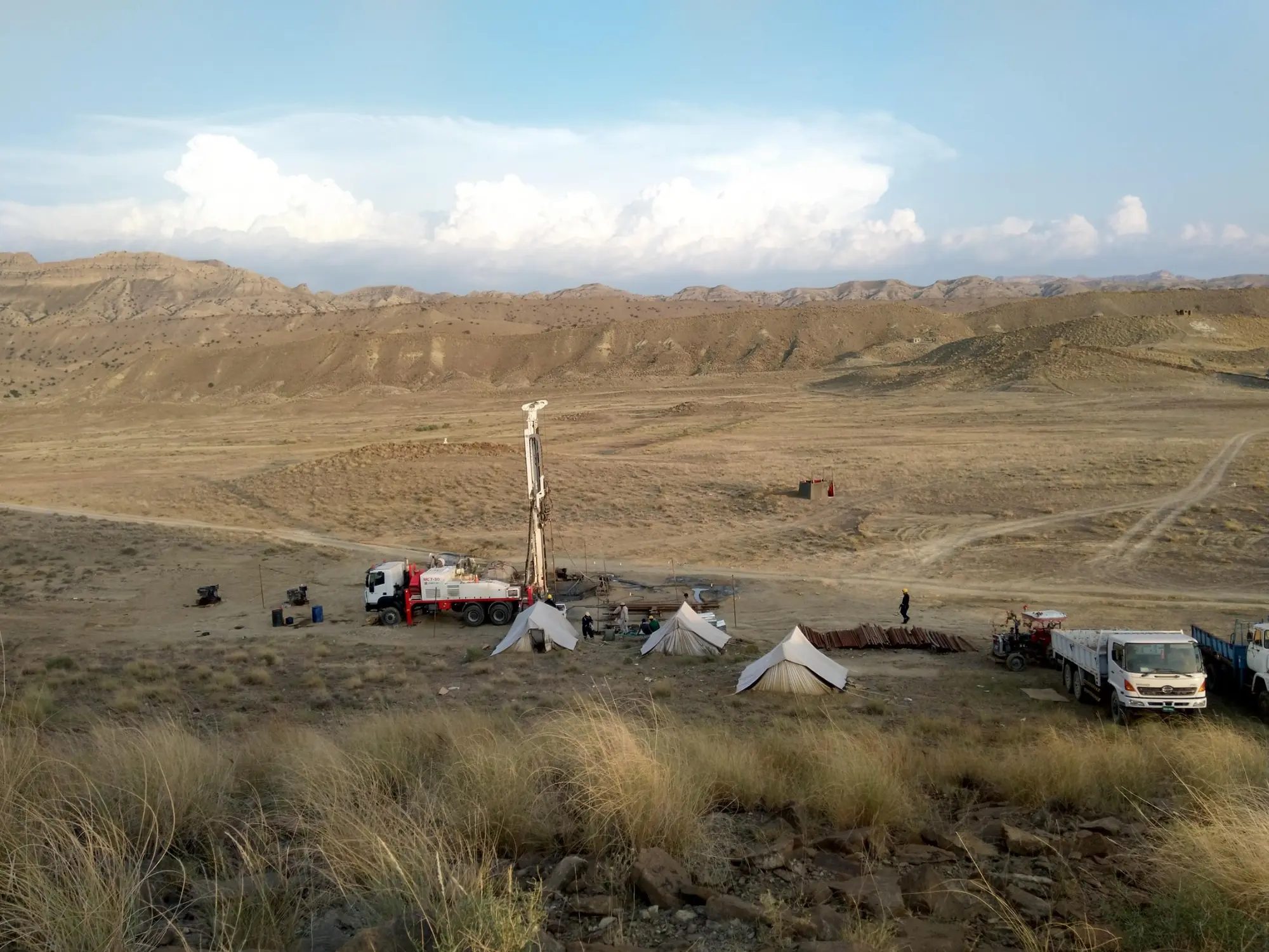
Drilling operations in the fold-belt terrain of western Pakistan.
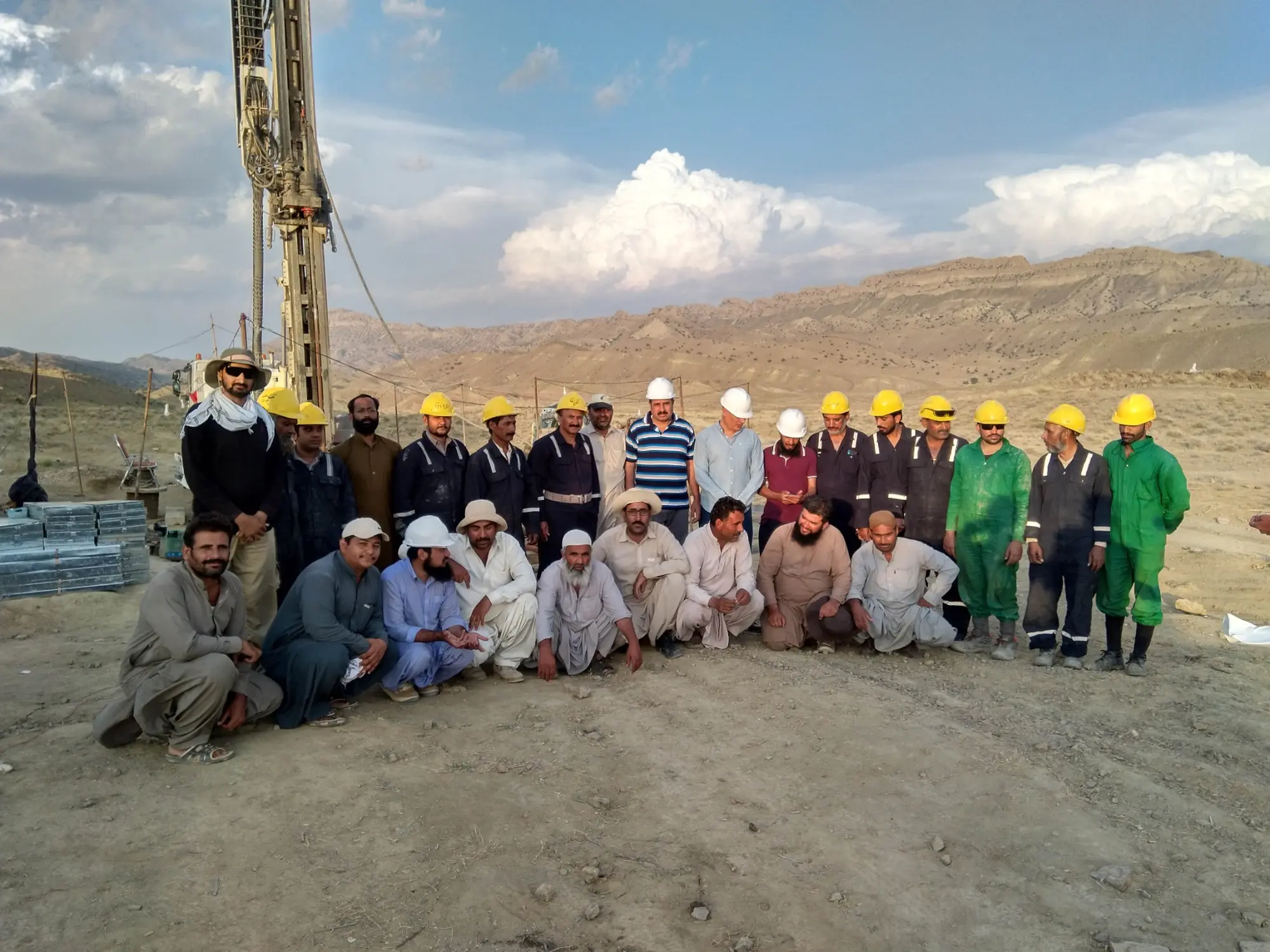
Field leadership and coordination with a multidisciplinary drilling-site team.
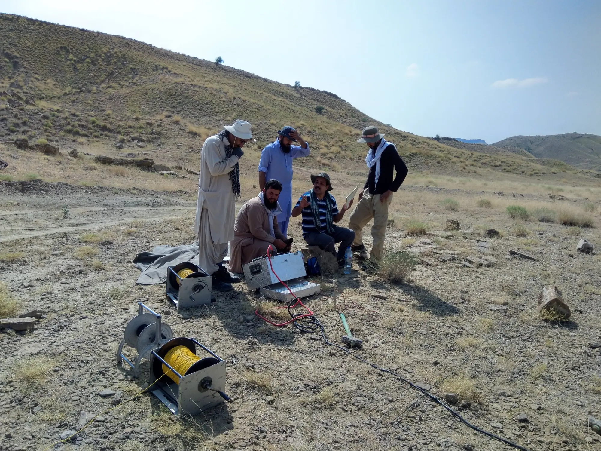
Electrical-resistivity acquisition for subsurface geological investigation.
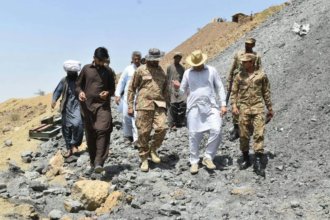
Coal-field inspection and technical engagement in a working exploration area.
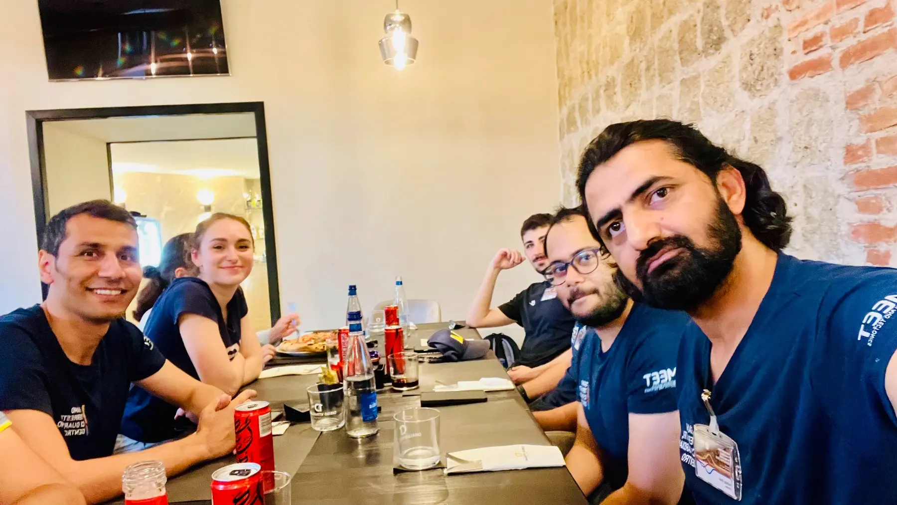
The informal conversations that turn a technical course into a scientific network.
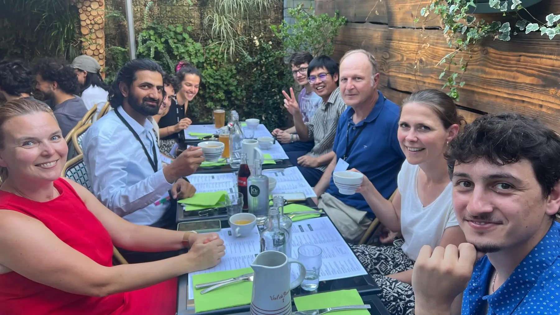
Building lasting collaborations beyond the formal programme.
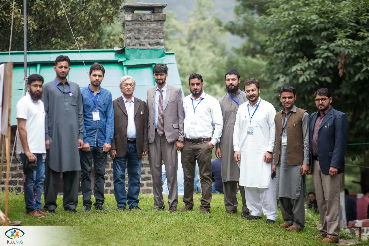
Strengthening the national geoscience community through professional exchange.
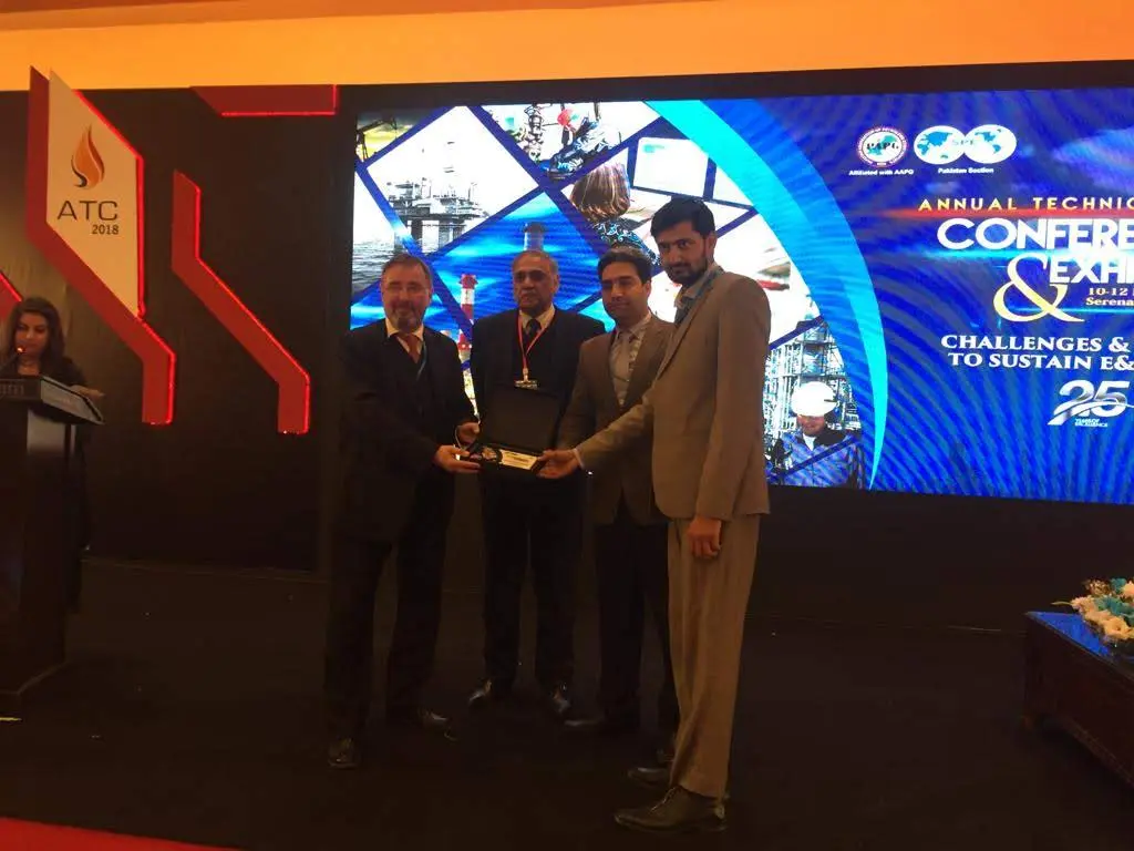
Recognition at the AAPG–PAPG Annual Technical Conference and Exhibition.
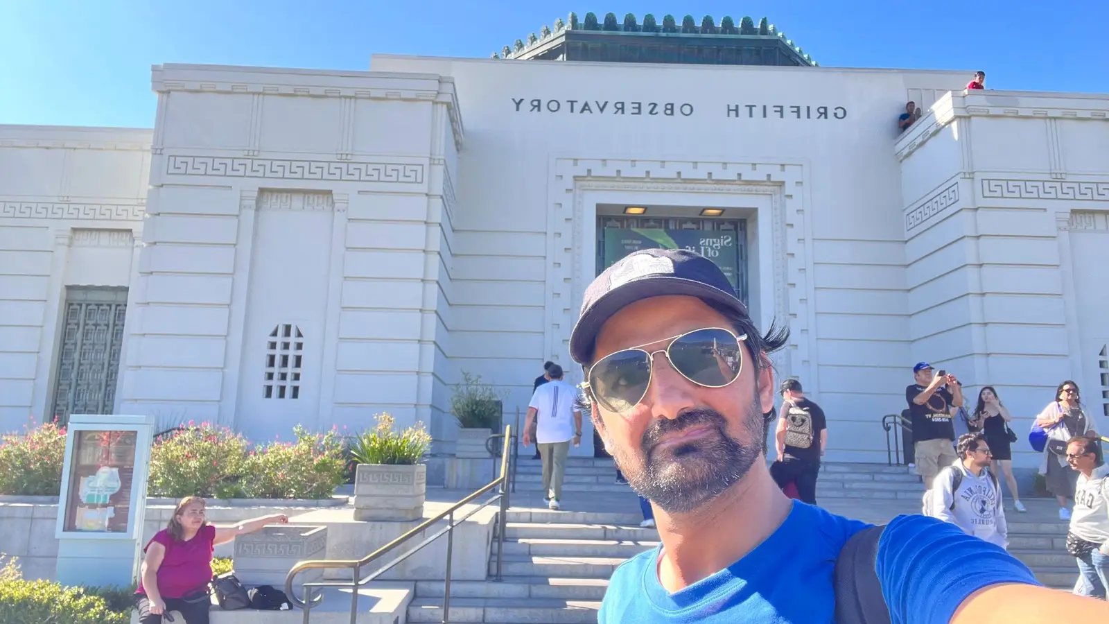
A visit to Griffith Observatory during international scientific travel.
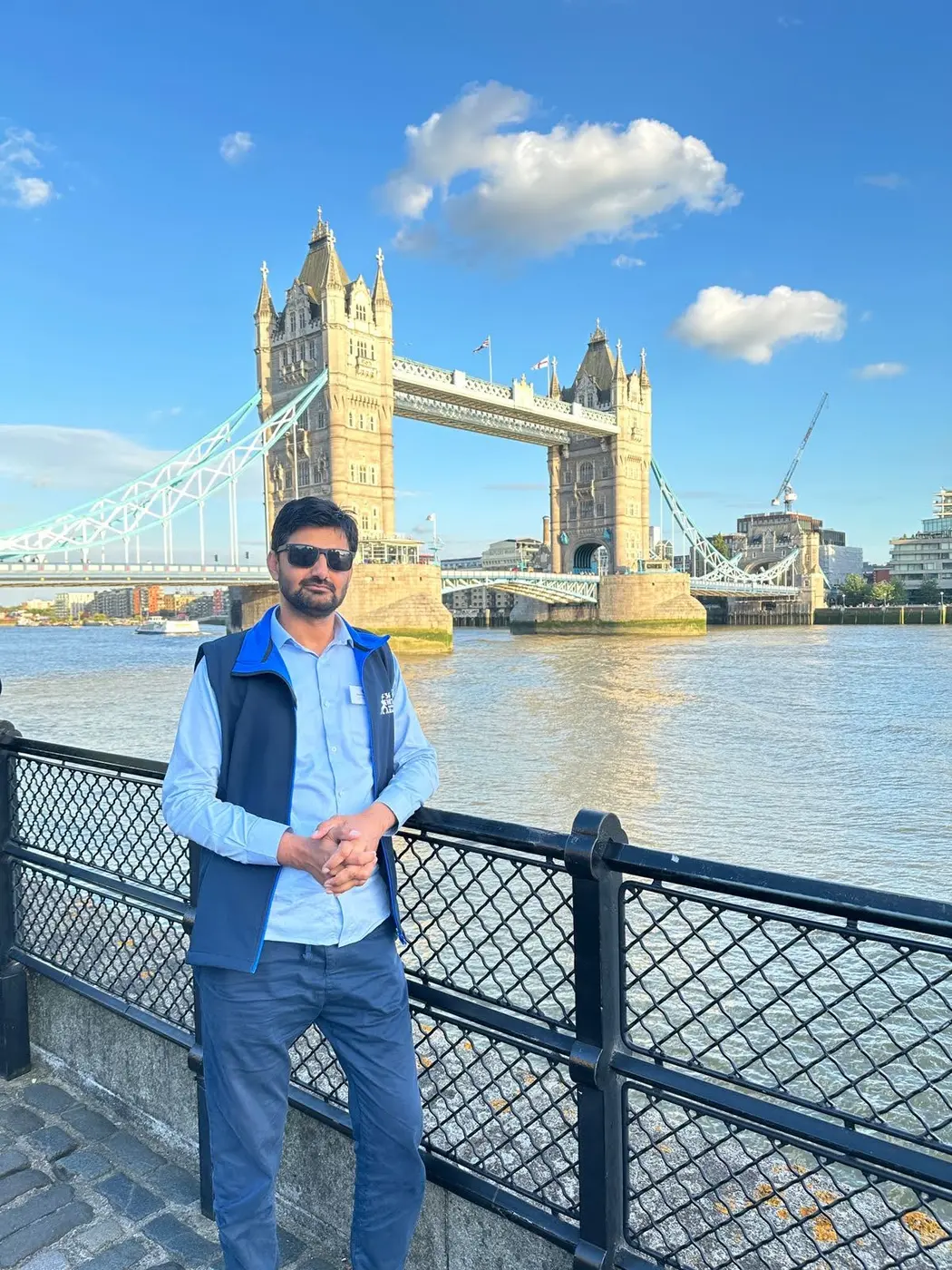
International scientific travel and exchange in London.